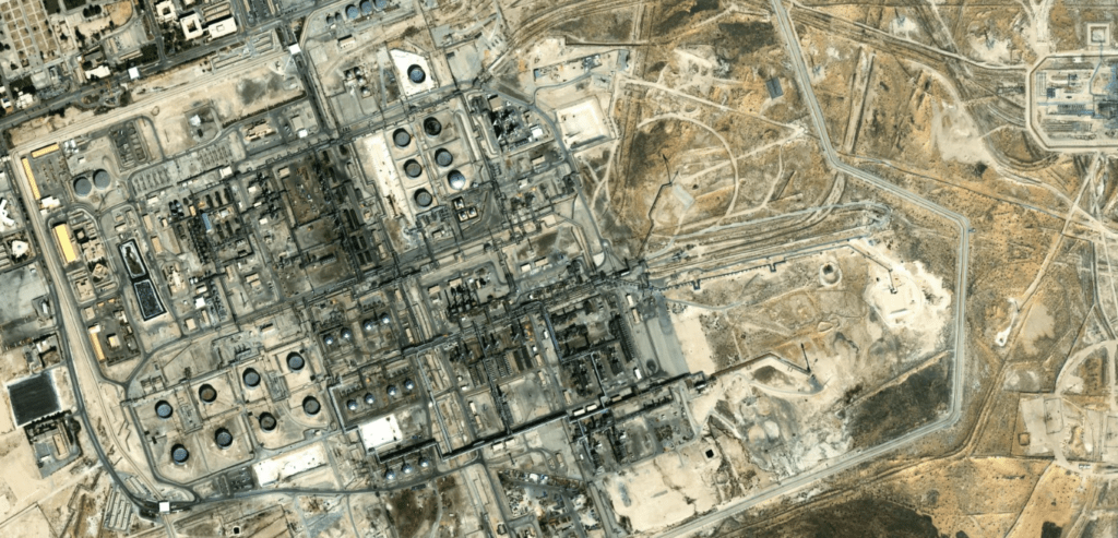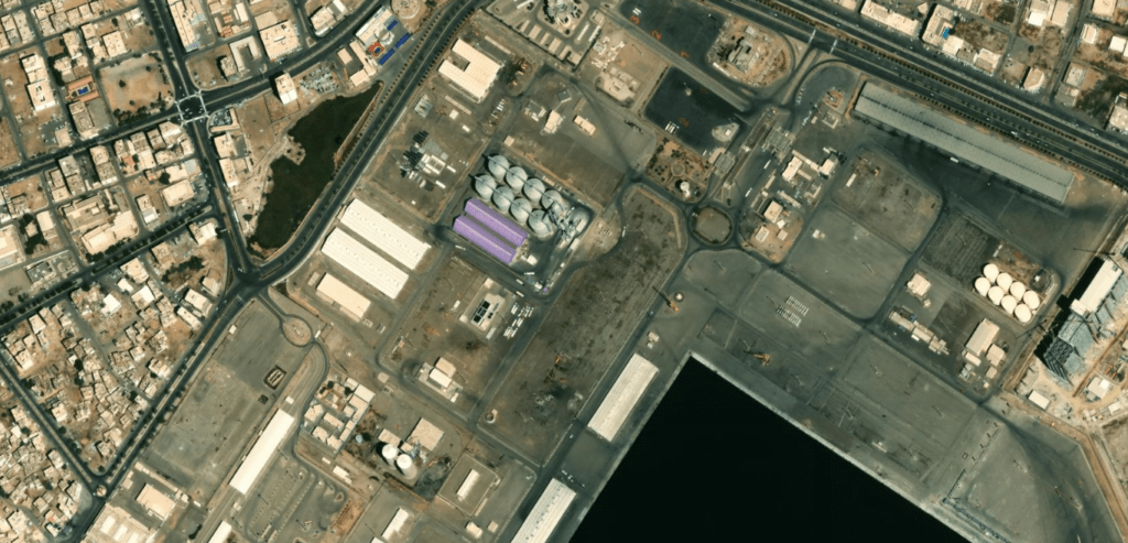


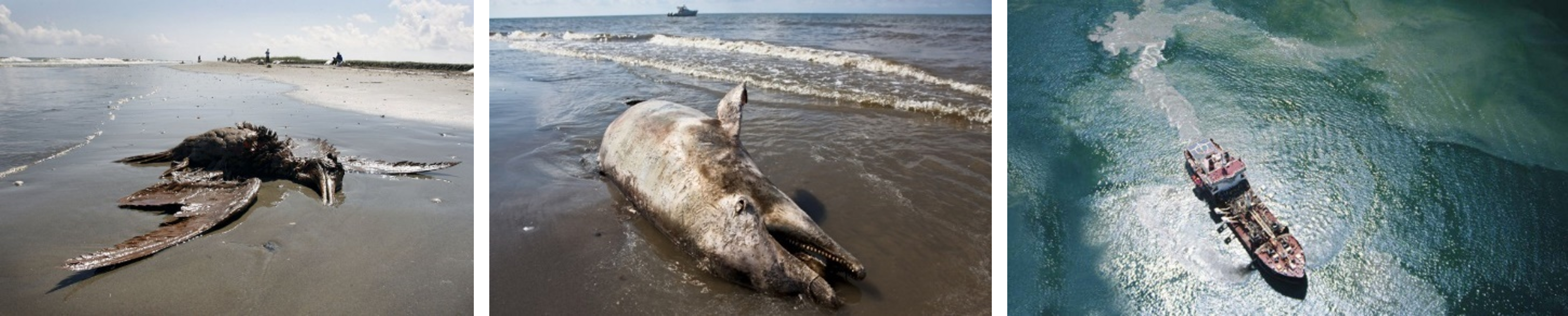
Oil spills happen all the time anywhere. Many ships deliberately dump toxic waste in our seas and oceans to bypass costly pollution prevention equipment or avoid paying for treatment at a port facility. For sure, these spills have negative impact on the environment and livability in seas.
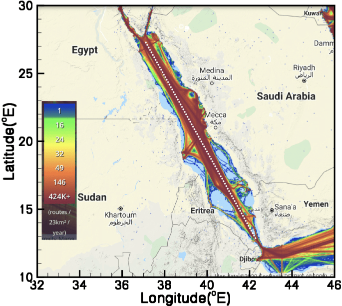
90% of international trade relies on global shipping, and regulations ensure that shipping practices are sound environmental. However, most of the oil dumping happens in the open waters, where no one can observe, and if detected afterward, the responsible ship is already got away with it. The Red Sea is subject to this threat, with more than 10% of the global shipping trade going through it.
To be able to detect oil spills via satellite imagery and identifies who are the likely polluters. Then provide a dashboard alert to the environmental law enforcement and help them act quickly.
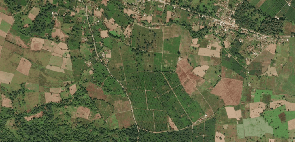
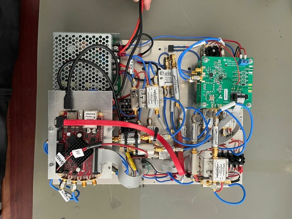
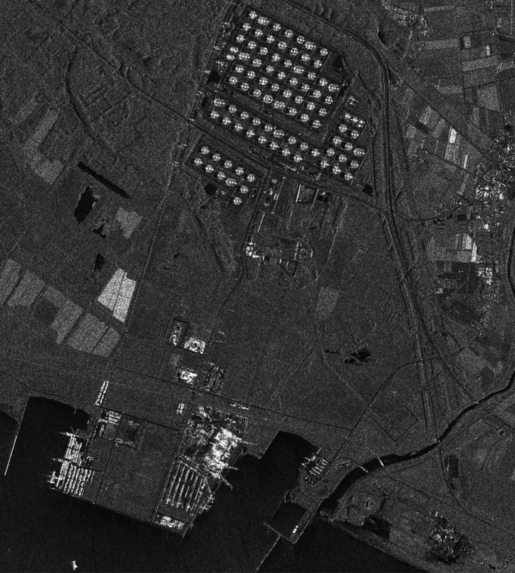
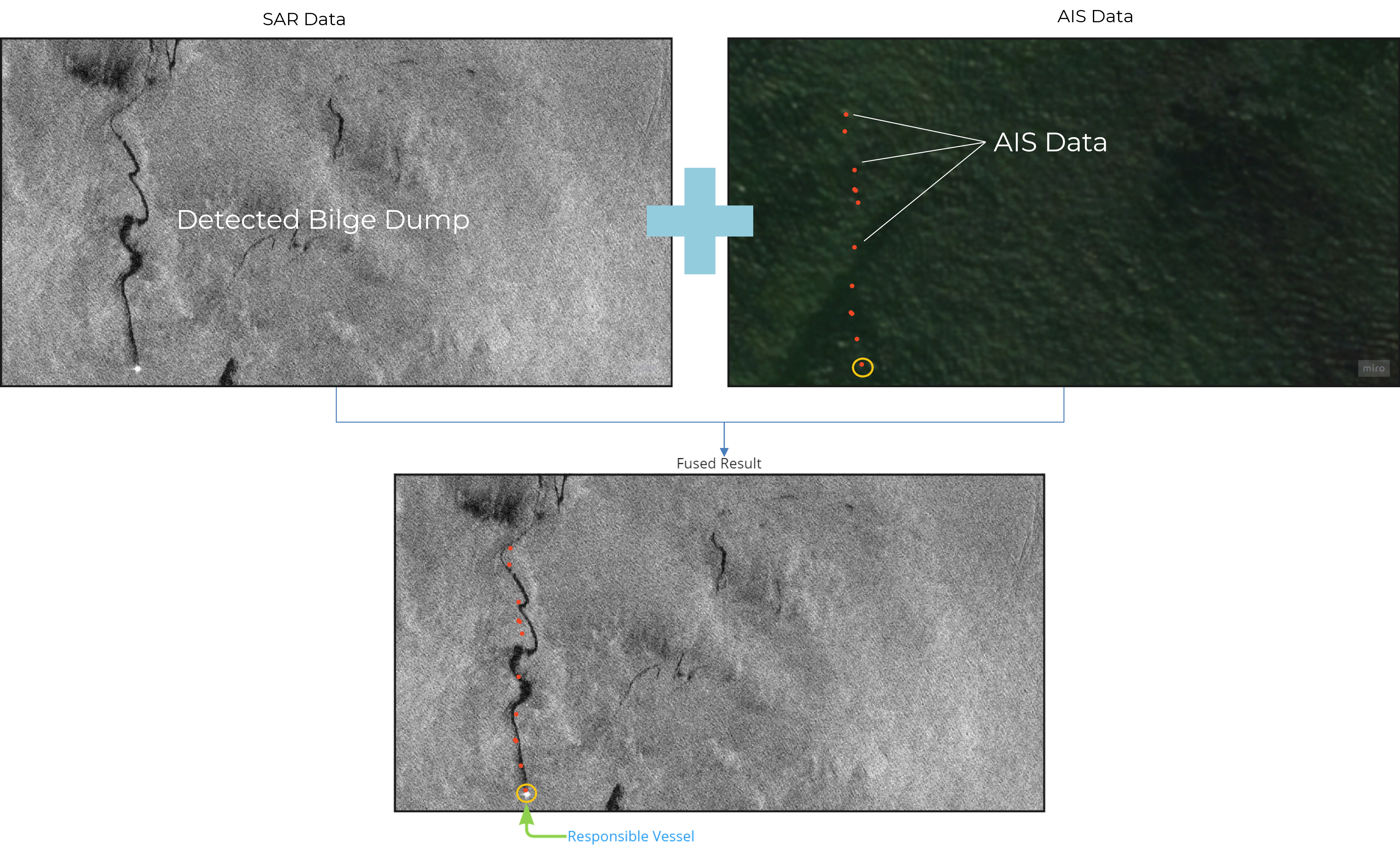
Acquire SAR satellite imagery every 14 days or less and analyze it to detect oil spills using trained ML model over 1,000 satellite images that contain oil spills. Then, fuse the detected oil spill imagery with other data sets: Automatic Identification System (AIS), a signal every ship should transmit continuously to unique identification, position, course, and speed to avoid collision with other vessels. By correlating the two data sets (SAR+AIS) we can highly estimate the responsible polluter and provide the information to the environmental law enforcement.
The environmental impact is significantly rewarding. The provided information to environmental law enforcement can be used to prosecute vessel polluters. The oil dumping will be reduced and will keep toxics away from our waters. Also, in case of a major oil spill, real-time and continuous data can assist the work on the recovery process of the disaster area.

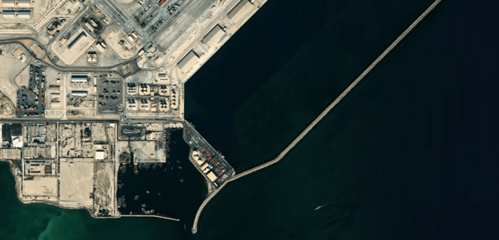
Oil spills happen all the time anywhere. Many ships deliberately dump toxic waste in our seas and oceans to bypass costly pollution prevention equipment or avoid paying for treatment at a port facility. For sure, these spills have negative impact on the environment and livability in seas.
90% of international trade relies on global shipping, and regulations ensure that shipping practices are sound environmental. However, most of the oil dumping happens in the open waters, where no one can observe, and if detected afterward, the responsible ship is already got away with it. The Red Sea is subject to this threat, with more than 10% of the global shipping trade going through it.
To be able to detect oil spills via satellite imagery and identifies who are the likely polluters. Then provide a dashboard alert to the environmental law enforcement and help them act quickly.
Acquire SAR satellite imagery every 14 days or less and analyze it to detect oil spills using trained ML model over 1,000 satellite images that contain oil spills. Then, fuse the detected oil spill imagery with other data sets: Automatic Identification System (AIS), a signal every ship should transmit continuously to unique identification, position, course, and speed to avoid collision with other vessels. By correlating the two data sets (SAR+AIS) we can highly estimate the responsible polluter and provide the information to the environmental law enforcement.
The environmental impact is significantly rewarding. The provided information to environmental law enforcement can be used to prosecute vessel polluters. The oil dumping will be reduced and will keep toxics away from our waters. Also, in case of a major oil spill, real-time and continuous data can assist the work on the recovery process of the disaster area.